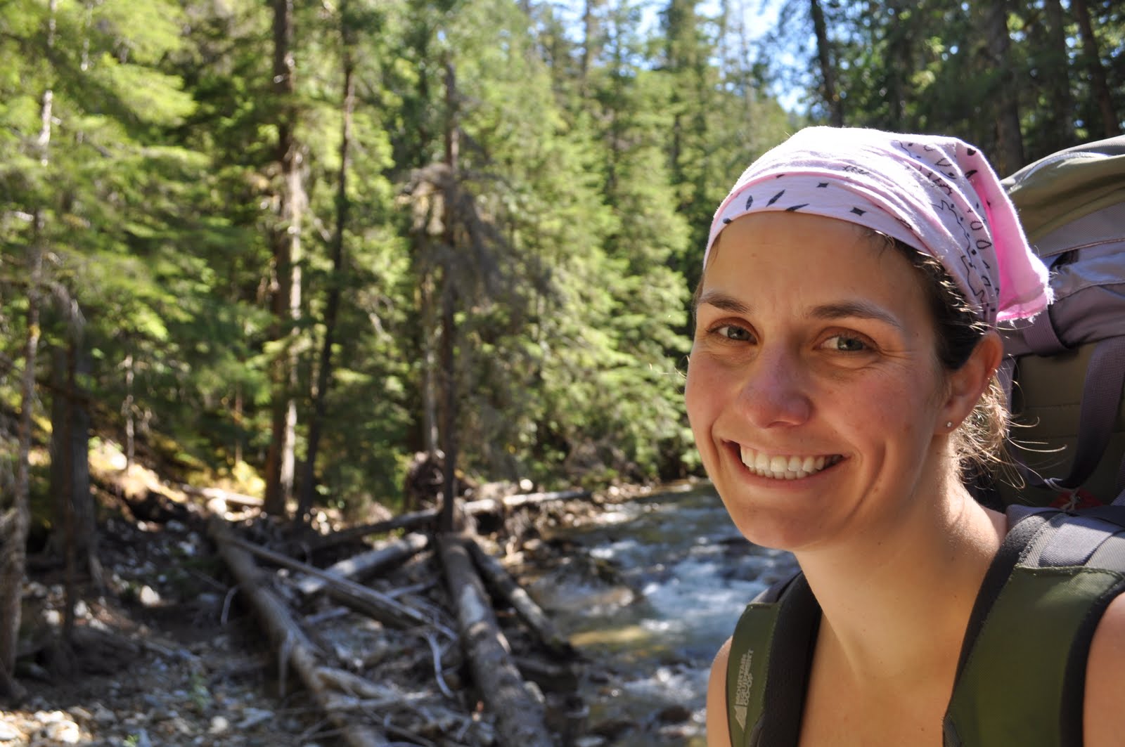
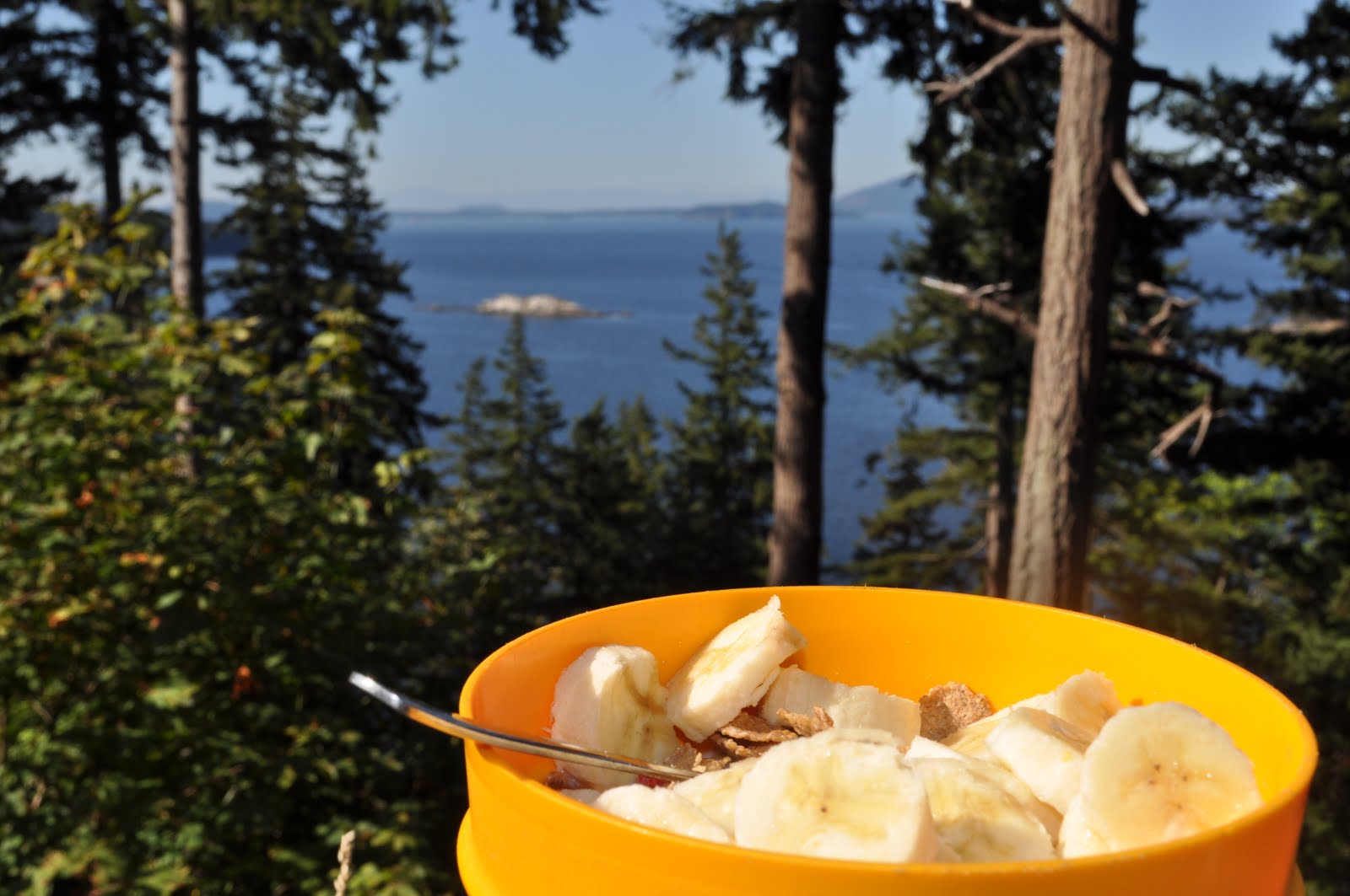
Friday, August 27, 2010

North Cascades National Park, Bainbridge Island, Seattle, Newhalem OR


August 27, 2010


After a long internet check-in at a Starbucks in Bellingham on Monday morning, I scoped out a few google maps and decided to head inland to North Cascades National Park. Still with no complete map of Washington in front of me, I was relying entirely on the GPS and my memory of the maps I had looked at online. (I later had a major Ahhh ha! moment.... and realized I've had an atlas of the USA with me this whole time.) In any case, the drive east was great- it felt fantastic to be back on the road again, even if I wasn't sure where I was headed. The lovely thing about this particular approach is that it fully embraces the spontenaity of random wine tasting at one of the handful of enticing wineries along the way. Eagle Haven Winery is nesteled in Sedro Wooley, WA, and the lovely lady manning the tasting room was incredible friendly and probably would have kept pouring me wine all afternoon.


 I had made reference to some of the wines I'd tasted in South Africa and before I knew it I was hearing about her sister, a hunter, and her brother-in-law, a taxidermist, and their trips to Africa.

"But they've never invited me to come along," she says jokingly. Without having to pay a dime for my tasters, I was back on the road.
Eagle Haven Winery


The sign to the Marblemount Ranger check-in station caught my eye and a quick u-turn brought me to the off-road cabin with plenty of help to be offered. Once the two couples at the counter had been helped and I'd checked out the 3-D topographic map, I stepped up to the counter and found myself saying I was looking to do two nights in the backcountry and was looking for a permit and recommended trails.

What?

Honest to god, I hadn't thought of this before. I didn't even have two days worth of food with me. Where did this sweeping request come from?

The fact that the Ranger didn't seem taken aback at having a lone traveler inquire about a late afternoon departure for the backcountry was reassuring. She did take me through the 'bear aware' rigamorole while pointing out a suitable trail given the time of day and the "two nights in the bush" that I was looking for. My permit was printed (with emergency contact info, name, phone number, car information etc all logged into the register), I was on my way, and without having to pay a dime.


Luckily there was one more gas station before the mountains and forest took over, so I stocked up on energy bars and a can of beef something. It was the lightest canned item they had. Given the true spontenaity of this decision, my belongings ended up sprawled over two parking spots at the trailhead as I sorted out what I would need and would could stay. With the sun starting to set, my first leg of the trek was appropriately brief at a little over 2 miles. Assuming no wrong turns. Add in two wrong turns, and 2 miles becomes more like 4 miles, which meant setting up came in the dark.


Setting off at the Thunder Creek trailhead.

 This is approximately when bear paranoia sunk in. It's amazing the comfort we get out of being with others in the dark, or when there are legitimate threats 'lurking in the darkness.' I was clanging my keys like there was no tomorrow and trying to rationalize with myself as much as possible. The problem was, if I encountered a grizzly bear, there really isn't much I could have done.


Site #1


So the paranoia stuck around, while setting up my tent, starting up the stove, frying up some sausages and peppers, and cleaning up. I made damn sure I didn't spill a drop of anything sweet or salty- both of which attract bears and other fun nightime visitors.


Cooking dinner at site #1

 Despite this diligence, I was taking my dirty pot down to the glacial river running along side my site and when I switched from singing the spice girls to "CLANG CLANG RATTLE BING BANG GONNA MAKE MY NOISE ALL DAY" (nothing beats children's story songs to make you feel a-okay), I started clanging my pot to add some 'beats.' My pot, which still had a 1/2 cup of sausage grease in it- all of which ended up on my pants. Now I was in a real dilemma, I could wash my dishes, hang my food- take all the precautions to avoid bears visiting, except that now I smelled like a walking juicy jumbo. Fabric holds scent exceptionally well, so despite the pitch darkness and general haphazhardness of this whole event, I dunked my pants into the river to scrub them (with rocks... I had no soap to speak of) clean of sausage smells. In my packing frenzy I forgot my freshly charged ipod, which meant I'd be falling asleep to the creaks and croaks of every damn thing around me. I nearly talked myself out of hiking back to my car first thing the next morning.
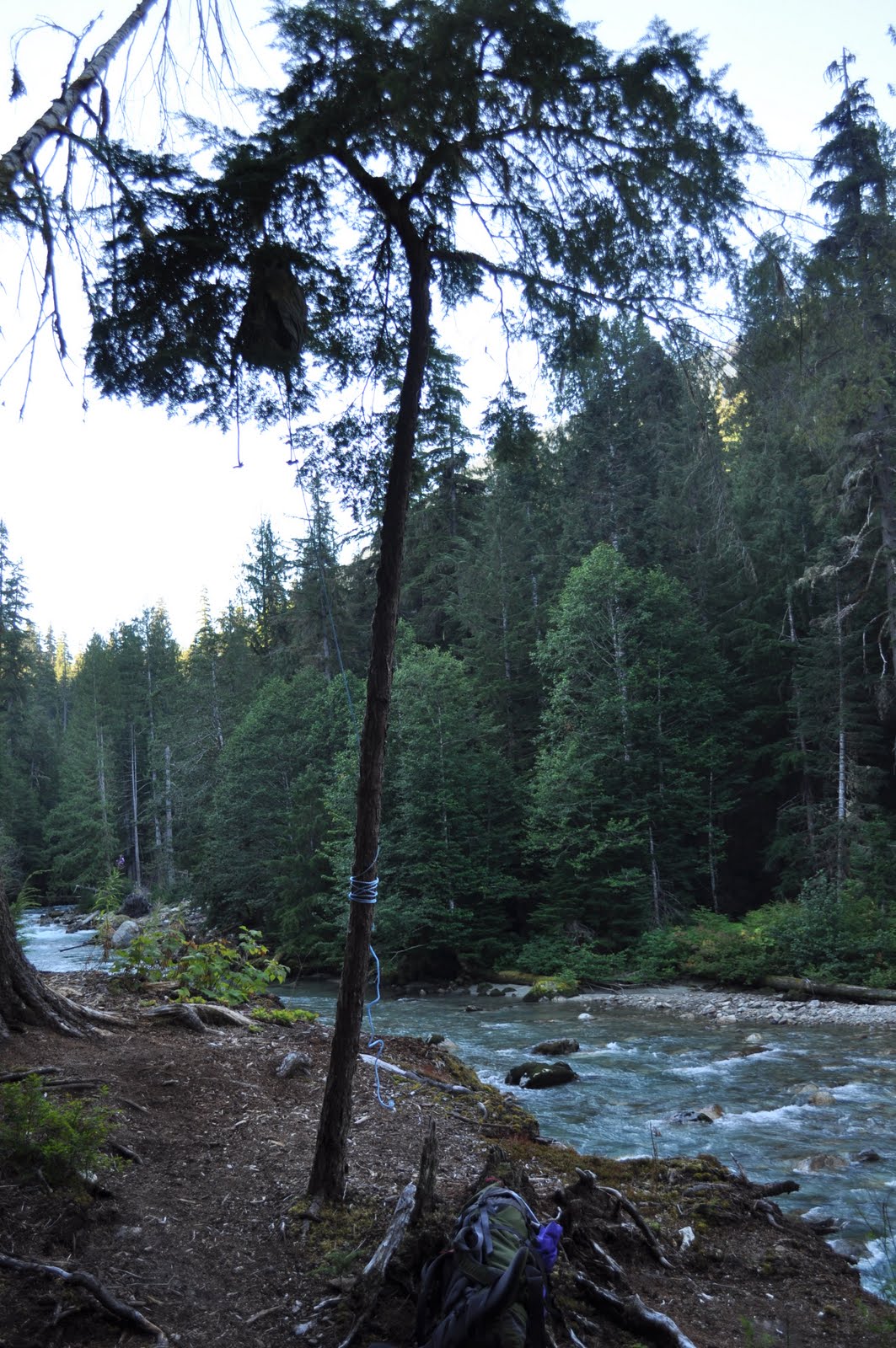
 Bear bag. Nearly lost my food to the river trying to set this one up.


I'm happy to say that I awoke with a renewed appreciation for the outdoors to find find my hanging bear bag untampered. While I kept my keys jingling, I was able to get my mind off bears for most of the trekking that remained. Except for the 3 encounters with massive piles of bear poo. I jingled more aggressively in those parts. My second site was perched halfway up the edge of some mountain with great views of the glaciers. Turns out I absolutely booted it through the trails and made it there far earlier than anticipated- so I enjoyed the afternoon basking in the sunshine and napping in the shade.
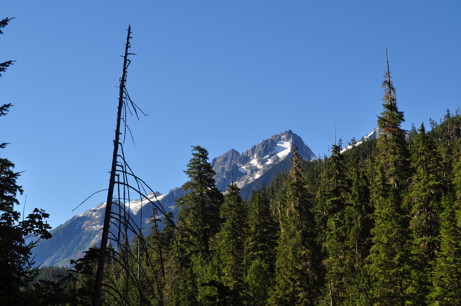


plenty of great views along the way

along the trail to site #2

The park brochure (being short of "things do to" I read it end to end several times) describes the Stephen Mather Wilderness, which encompasses North Cascades National Park, Lake Chelan National Recreation Area, and Ross Lake National Recreation Area as a place for solitude, challenge, contemplation and cultural study. While I didn't endeavour in any cultural studies, I definitely got my fill of the solitude, challenge, and contemplation.


Arrival at site #2- YAY! plenty of time to take in the view


Site #2

The view from site #2

My restlessness took hold and to hurry things along, I had an all time early bedtime record of 7:30pm- the sun wasn't even fully set. I was back on the trail the next morning, and reached my car by 12:30pm on day three after covering a total of 23 miles.


With no showers available, I did my best to 'wash up' with the sink (a taste of the life of a bum, I suppose) and had a cold beer overlooking Ross Lake- a spectacular view and great 'reward.'


 I got back in my car and figured I'd head to the Seattle area. With a handful of stops at wireless-less Starbucks shops (the damn kiosks instead of proper stores), I finally hunted down a good connection and scoped out my options for state parks with camping available. It was 5:30pm and I was in Everett, WA and the closest option appeared to be Faye Bainbridge State park on Bainbridge Island. Island? Google maps said I would be taking a ferry. My head was swimming in logistical obstacles, matched up against a dwindling amount of daylight. I winged it and set the GPS for Bainbridge Island.

Suffice to say that was the best "decision" I've made in a while- after a spectacular ferry ride from Edmonds to Kingston, WA, with the setting sun overlooking Seattle and Mount Rainier (tallest in WA), I arrived at Faye Bainbridge State Park in the Puget Sound, camping by the sandy beaches with the lights of Seattle on the opposite shore. Hot dogs and wine hit the spot after another very successful day of no planning.
The ferry from Edmonds to Kingston, WA, just outside Seattle


Faye Bainbridge State Park


The next morning was drizzly and cool, with the view of the city completely blanketed by fog. I caught a morning ferry right into Seattle and ventured further from the downtown core to save money on parking. As with any major city, 8 blocks away saved me $16 for four hours of parking, and I got to take in more of Seattle by walking. Pike Place market was a 'major attraction,' with plenty of fresh fish, flowers, bakers, trinkets etc. The usual market fare.

Pike Place Market, Seattle

Coming into Seattle on the ferry from Bainbridge Island


Pike Place Market- plenty o fish to be had


Given that Starbucks has been my blogging lifeline with their free internet, I made a point of visiting the original Starbucks, too.


The original starbucks

After my fill of city life (and a brief moment of consumer weakness with some discount clothing shopping- it was a gold mine!), I headed south on the I-5 towards Oregon. The Mount St Helen's National Memorial was en route, but after hitting commuter traffic, I found myself in a familiar predicament- running short on daylight with no plans for where to camp. I wanted to see the Oregon coast, and if the wind was good, head inland to Hood River for some more kitesurfing. The atlas showed state parks dotting the north Oregon coast, so I figured I'd find a place to camp no problemo. I was wrong.

From one State Park to another- none offered camping. I was weaving through dark roads in who-knows-where Oregon, with so many twisty turns I started to get car sick. It was 9:30pm, and most State Parks close up at 10pm. I was starting to imagine myself knocking on some farmhouse door asking if I could pitch a tent on their lawn. Low and behold, my lack of planning pulled through again and I came across a tiny convenience store with a helpful young man pointing me 2 miles south to Newhalem State Park where camping was indeed available. Stretching along a tiny peninsula of the Oregon coast just outside Manzanita, OR, this park sits right on the pacific ocean and draws a large "horse crowd." In fact, that's all the camping they had available-"horse camp." My site came with corrals. And horse shit all over the place.


Horse Camp. Yes, those are the corrals in the background. For drunk, reckless campers.

In any case, it was a campsite, and I could hear the ocean not 100m away. Wine and hotdogs hit the spot again, with leftover blackberry pie for dessert. I woke up to sunny skies and a spectacular beach streching out beside me.


Newhalem State Park on the Oregon coast, just outside Manzanita, OR

I'm writing from the Manzanita library, which is literally the "hot spot" of the town. As I sit on a wooden bench outside the library- which is clad in cedar-shingles and might as well be a beach house, and a woman walks up,


"Where is it [the internet]? Is it just all around us?" asks this elderly woman returning some books in the drop slot.

"Haha, yes it's everywhere," says the man on the bench under the tree nearby.

"Oh, I see. I always see people sitting here and wonder how they're getting it."

"Yes, that's the wonder of wireless internet," says another man perched on the rock.


A couple minutes later the man on the other bench, in khaki shorts, boat loafers, and a loose white dress shirt gets up, macbook and hand, and says,
"Well, the only thing that isn't everywhere is a powersupply. Do you think there's an outlet in one of these rocks?" he chuckles, "Have a nice day, the both of ya's."
While the wind isn't looking good in Hood River, the beach here is still fantastic... so who knows what the day holds.
repeat picture i can't delete for some reason.

Monday, August 23, 2010

Rolling On: Vancouver, Squamish, Bellingham WA

August 23, 2010: Back on the road

Two weeks in Vancouver sealed the deal for me and making my way back to the west coast sometime post-masters. It was cram-packed with the usual shenaningans- nights on the town, the grouse grind, BBQs on the beach, tennis with Roo, homemade indian food, canoeing in Deep Cove, and climbing in Squamish- sprinkled with a few visits to the MHPM Vancouver office.

Gearing up to climb Smoke Bluffs, Squamish
The view from halfway up.

Climbing. Thanks to Emily and Lisa for the expert lessons in trad climibing, but Heather and I stuck to top down.


Heather and I. Taking in the view while Emily and Lisa did their thing with trad climbing.
I should note, this was Heather's third time putting on a harness. First time outdoor climbing. WELL DONE!

The view from Jesse's humble abode.
It was just under two years ago that Mom, Julie and I ventured here as the classic tourists for a kayak adventure. Wewould have paddled right by Jesse's place!
Welcome back BBQ at Jericho for Jesse and Ruth after 2.5months on the road touring the US.
Jesse grilling, and WASHOOS in the background. What's WASHOOS? Two boxes,each with three holes. Eight washers. Sort of like horshoes, but throwing washers into the holes for points. It's right up there with frolf/beersby, bocce, and croquet.

Canoeing at Deep Cove.
Ruth's "young buck" boyfriend, Jesse, is living the life right on the ocean in this tiny town outside of Van.


Ruth missed the "homeliness" of baking and we went to town in the kithen at 3357 West 7th.
My first pie! With fresh blackberries picked from right outside Jesse's in Deep Cove.


Sunny Sunday at Spanish Banks

With Margot back home in Metis for her summer vacation, Katharine back to Georgian Bay for some Ontario cottage life, Heather and Erin off to Vancouver Island, and Ruth off again to Tadoussac, Quebec, I figured it was about time I hit the road again.

Bellingham, Washington has been on my hit list of great kiting spots for a while now, so I headed straight south to this tiny town to spend a few days camping, hiking, and sailing the Washington coast.

I checked in with the local kite shop to ask about wind conditions and any camping recommendations. After making plans to kite the next day, I found myself arriving at the nearby Larrabee State Park on a busy Saturday evening with all sites full. It was nearing dusk and my options were limited- fortunately traveling as a lone female does come with some perks- namely sympathy for a lack of planning. The park ranger let me use an "emergency" site, which ended up being far more appealing than the usual selection (imagine ram-packed sites, RVs and massive tents a plenty, screaming kids and raging generators). It was a hike-in site, but I was more than happy to make the trek to escape the weekend RVer noises.

By the time I had a good fire going, my tent setup, and some food re-heated, I was exhausted. Note to Smith/Storm: where's a solid fire-building team when you need one? The dry spruce was in abundance, but everything takes twice as long when you're on your own. If work sucks, then you are both more than welcome to re-join me. Washington is fantastic!

Larrabee State Park, WA

Sunset at Larrabee State Park, WA


Not that I'm keeping track of the "best days of my life," but if I was, yesterday would rank amongst the top ten. I woke up in total solitude, packed up my gear, and wandered back along the highway until I found a trailhead I was certain I saw on the way in. The wind wasn't going to pick up until mid-day, so I figured I'd find a short hike to pass the time. Despite my searching on the Gremlin, I couldn't find a visitor's centre to get a trail map. The Park Rangers were also useless. 

When Storm left, he also took his Gremlin with him. In and around Vancouver, I was a-okay with navigating. Driving south, however, was a different story. I conceded to it's usefullness and bought my own before heading into Washington. Getting lost can be a ball when you're not on any kind of timeline... but not so fun when your by yourself and you have no one to laugh about it with.

So I took a mental snap shot of the info board which showed a blurry, faded trail map. It looked to be a 2-3mile hike. Maybe I took a wrong turn, maybe I just mis-read the map, maybe I am a much slower walker than I thought- but I didn't make it back to the highway until 4 hours later.

The wind had picked up at a solid 15-18 knots and while my legs were burning from some steep climbs,I didn't want to risk the wind dying for the next week and not getting on the water (as is my usual luck).

I managed to catch a ride for a deep water start on the local kiteshop's seadoo and got an incredible 3.5 hour session in as the sun was setting. While I would have loved to keep going and the wind was still going strong, my body was telling me otherwise.

Locust Beach, outside Bellingham, WA
Hiking in the Chuckanut Mountains, WA

Trail critters


Not me (water starts make it tough to get photos...), but other kiters at Locust Beach


I made it back to the State Park after dusk, hiked into a remote site, started a fire, had a turkey sandwich, and enjoyed a half bottle of chardonnay. The fact that it cost only $4 made it that much tastier.

I packed up this morning with plans to head south- not sure where to exactly. I stopped for breakfast at a great lookout spot along the highway and met two young missionaries- they were maybe 16-17 years old, and extraordinarily friendly. These two young men, named Elder Zachariah and Elder Isaac, were currently living in Mount Vernon and were enjoying their one 'day off' a week and checking out the Bellingham coast. Apparently all missionaries preface their name with Elder. One was born in Missouri, the other born in Japan, and combined, they have lived in over 20 states. I guess since it was their day off they saved me the 'conversion schpeel' and were everyday, interesting people to talk to. The one says, "You know those guys who wear white shirts and black ties with books- that's what we do."


Breakfast stop.


Despite the beauty of this coastline, this FREQUENTLY used train tack ran right by the Sate Park and kept me from any kind of deep sleep. 


Sunday, August 8, 2010

Day 9 August 7, 2010 Revelstoke to Vancouver

Revelstoke to Vancouver, via Okanagan.

On the road by 9:30am in a drizzling rain, we headed southwest to Sicamous, BC. Despite the extremely friendly ladies in the Sicamous Info Centre and the allure of a local festival and fireworks that night, we would only be stopping through to check out the beautiful Lake Sushwap- the beginnings of ‘Lake Country.”

We traveled along lake shores, eyeing Mara Lake and it’s forested, low-laying mountain backdrop. We scoped out a small beach area and made it in for a quick dip in the bath-tub warm water. As we continue to drive south, we pass through the towns of Enderby, Armstrong, and Vernon.

When Kalamalka Lake came into view, just east of Lake Okanagan, we stopped for another quick dip in it’s turquoise blue waters- in what we thought was Lake Okanagan at the time. Upon my checking out our BC map and seeing that the highway ran quite some distance from Lake Okanagan, I ask Storm “What lake did we just swim in?”

“Lake Okanagan,” he says with fair certainty.

“How do we know that? I’m checking the map and it really doesn’t seem possible,” I reply.

“The Gremlin. The Gremlin told me,” says Storm.

“Ugh the damn Gremlin. Well it’s wrong, that was Kalamalka Lake, not Lake Okanagan,” I say.

“That’s disappointing,” says Storm, “Now I can’t say I swam with the Ogopogo lake monster.”

Smith then chimes in, “Ah, yeah... I was looking at the maps before we went swimming and thought it couldn’t be Lake Okanagan, but I didn’t want to ruin your excitement about the Ogopogo.”


Kalamalka Lake, BC

Kalmalka Lake


As we reach the outskirts of Kelowna, Smith, a real estate appraiser, wonders aloud, “I wonder what every does here. All these big, nice homes. What drives this economy?”


“I know tourism is big,” I chip in.

Having seen sign upon sign advertising real estate agents, Storm says “Lot of real estate agents here, eh?” Storm pauses and we nod in agreement, and goes on, “Looks like they’re probably just selling houses back and forth, and employing themselves while they’re at it.”


We continue on, getting ever-closer to the heart of Kelowna.

“Oh man, there must be a big airport somewhere beyond that lake. Look at that jet going in to land,” Smith pauses, then goes on “Well, that, or we’ve just witnessed a major disaster and it crashed into the lake.”


We eventually pass by the Kelowna airport, at which point Smith then says,


“Ok, with an airport that size there’s gotta be something more going on here. We’re not seeing all of Kelowna. What is going on here?”


Having heard great things about the Okanagan wines, I was sure to pick up a winery guide book at our Sicamous tourist centre stop. We soon discovered that there was a "Bonitas" winery in the middle of the winery loop between Peachland and Summerland, BC. Buried amongst rolling mountains and dry, arid desert, Bonitas Wineries was a taste of luxury on a balmy, but cloudy summer afternoon. We tasted a deeply oaked and buttery chardonnay followed by a musky, cherry laden merlot begging you to grill up a steak. The winery overlooked the Southern part of Lake Okanagan.


Bonitas Winery outside Summerland, BC.

After our brief, but flavourful stint in the heart of the Okanagan wine route we continued south to Penticton.

With plenty of time before we were "due" in Vancouver that evening, we spotted an enticing looking driving range. While Bob's Golf wasn't the snazziest of driving ranges, we were shooting into the rolling desert hills enjoying the warm air and some "exercise."

Storm taking his losing stroke. Smith won the Okanagan Golf Challenge- judging being on "overall flair."

As we pull out of the driving range lot, looking out at the dry grassy land around us, Smith says, "This is probably prime territory for cougars, eh?"


"Why, have you seen a lot of bars?" asks Storm.


"No man, I mean the actual animal," replies Smith.

After our final gas fill-up (which ran us about $400 for the whole trip) in Penticton, we climbed into the Saturn one last time.... next stop:

VANCOUVER!

As we take in the sprawling dry mountains, the car quiet, Smith brings up Lake Okanagan again,

"I'm just going to say we swam in Lake Okanagan, okay?"

"Haha... okay, but the blog's been written and it says otherwise," I reply.

Pointing to the Gremlin, Storm then says, "You know, I think the lake must have been recently re-named then, and the Gremlin is just out of date. I definitely felt the Ogopogo. So that, or the Ogopogo jumped lakes."


The boys will have to read up on my recount of the adventures before they fill you in on their own "enhanced" versions- like the cougar that Smith fought off one dark night, or the talking Bass named Jim that Storm caught somewhere between Regina and Saskatoon.


We arrived in Vancouver Saturday night to a chilly 15 degrees, with the odometer reading 303,050 kilometers- making for a 5,476km trip end to end.

Our arrival in Vancouver in Kitsilano. Thanks to the Skuportergraham Houeshold for hosting us.


It was defintiely not the most direct route, but it was one that showed us some of the best that Canada has to offer- crystal clear lakes, rolling hills, golden prairie plains, towering angry mountains, tasty beers, world-class wine, friendly people, and a landscape built for spontaneity and adventure.


While Storm flies home to reality tonight and Smith takes in the sights of Vancouver and Vancouver Island for another week, I'll be continuing on. To where... I'm not quite sure yet. But I picked up a bottle of Bonitas Winery Merlot that will pair nicely with a steak under the stars in some tiny town, somewhere.

I'll be making a visit to Vancouver Island, and likely heading up into Northern BC.

The blog will continue, but the posts less frequent while I spend some time enjoying the buzz of Vancouver.

Next stop:

???

Day 8 Pictures: Banff to Revelstoke, BC

Smith and Storm on the trail back from our night of bush camping in Banff
The drive to Revelstoke


Tasty glacial water in Johnstone's Canyon, Banff

Storm's stellar outift for the Johnstone's Canyon trail

Saturday, August 7, 2010

Day 7 Pictures: Jasper to Banff

Heading out for backcountry camping in Banff, AB
Lake Louise, AB

Jasper

Columbia Icefield, Jasper

Between Banff & Jasper

Day 8: August 6, 2010

Banff, AB to Revelstoke, BC

I woke up deep in the mountains today, squished between two large, smelly men. Struggling to open the zipper, I threw open the tent fly and took a long breath of quiet, cool air. While getting to Banff from Jasper proved pretty easy and awe-inspiring, getting to this wooded site surrounded by dense, dark forest was not so easy.


After our spectacular day taking in the evian-bottle scenery along Highway 1, we pulled into the mountain village of Banff late in the afternoon. Smith went into the visitor centre to pick up our wilderness passes for the night while I stocked up on overnight essentials- sausage, bacon, buns, and cheese. Apparently the visitor guide wasn’t overly impressed with our last-minute scrambling to venture into the woods as out-of-towners. Smith reassured him with our experience camping in Northern Ontario, to which the guide says,

“Oh, well then. You’re more likely to come across bears over there than you are here!”


I guess we got lucky in Ontario.


Wilderness passes and meat in hand, we drove back north toward Jasper to take the Johnstone’s Creek Trail into the mountains. We had loosely discussed the ‘ideal’ time for us to be heading onto the trail, which we kept pushing back to make ourselves feel safer about the hike- and likely darkness- we had ahead of us. Just as we pull into the trailhead, we’re slowed behind lineups of cars lining the narrow sideroad. Heads were craned out and kids faces pressed against mini-van windows all toward the low-laying field next to us. We join the rubber neck club and catch our first black bear sighting. Too far to be photo worthy, and increasingly concerned about our dwindling daylight, we quickly move on.


While we dig out the luxuries and replace them with our bare necessities, I ask Smith if he was able to get a trail map to take with us.

“Nope,” says Smith. Storm then pipes up,

“So Smith, the trail starts just at the washrooms over there?”

“Hah... Ah, yeah, that’s the start,” says Smith, with a clear twinge of sarcasm. He didn’t have a map and clearly wasn’t sure.


“Looks good to me,” I say.

Loaded up with gear, we head onto the paved trail into Johnstone’s Canyon. Passing by the last of the day hikers, we didn’t stop too often to take in the 70-foot deep canyon as the sun was no longer on our side. With the late summer days working in our favour, we knew we’d get to the marked camp area, but that was assuming all went well- and that we were going the right way.


Smith was told the trail was just under 10km to get to Larry’s, the camp area we hoped to reach. He was also told it was pretty flat- a key factor in our decision to hit the trail at 7:30pm. If this trail was this visitor guide’s definition of “flat,” I can’t imagine what hilly or steep might look like.


Once we reached the top of the 4km canyon, the trail transitioned to a loose dirt path. We were encountering fewer and fewer visitors, and still hadn’t come across a single signpost reassuring us of our route. We paused to take in the last of the water views at the top of a 75 foot plunging waterfall. The canyon was narrow and in some places, featured flat, and for the adrenaline junkie, accessible rocks. Two such adrenaline junkies in their early twenties were perched at the very tip of the mid-river rocks, overlooking the 15m wide pool of white water far below. As one of the ‘dudes’ went to take a step back toward the main rock crest, he slipped and his body, from shoulders down, was fully submerged in the rushing water. Fortunately he had managed to grab onto a crevice in the base of the waterfall edge, and his buddy nearby helped pull him back up to ‘safe ground.’


As we continued on, it wasn’t until the 4.5km mark when we finally found a sign, which indirectly confirmed our direction thus far. We reached the “Ink Pots” at just under 6km and took a quick look around before pressing on. Spring fed water percolates up through the sand and gravel to form 5 blue-green pools known as “inkpots.” The swirling and bubbles can be seen at the bottom of the pools where the underground spring feeds the pool. They vary in colour as a result of the speeds at which they’re filled. The milky-green pools fill more slowly, as a result of the heavier suspension of fine materials as compared to the clear, deep-blue pools.


As we transitioned from mountainside hiking into the low valley, we could see the sun setting on the impressive mountains surrounding us. Nearly 2.5 hours from when we started, we finally reached the secluded camp area just under 10km into the bush. While that doesn’t sound overly impressive on a minutes/kilometre basis, the steep climbs and descents had us heaving, and swatting at skeeters, most of the way through.


We pitched our tents and headed over to the designated cooking area to whip up our sausages and vegetables over the open fire. Dark fell very quickly, and the temperature dropped to well below 10 degrees. We could hear the rushing river below us, and it wasn’t long before I was in full-on “bear aware” mode. While the boys were quick to poke fun at my paranoia, we all agreed that the key jingling, loud singing, and frequent forest scans were wise choices given that we were cooking dripping, juicy sausages over a relatively small fire in the pitch dark, deep in the Banff forest. We had played our cards perfectly to be the “unprepared, bear unaware hooligans” mauled by a family of grizzlies deep in the mountains.


While no such mauling happened and we did make it back to the tents a-okay, I was wired up and almost overly bear-aware. Without much to keep us warm, we all crammed into one tent to crash- as three smelly, smoky, and exhausted trekkers.


Having forgotten paper and lost the lighter the next morning, we felt like true ‘survivor people’ by successfully getting the flames going in the morning drizzle with nothing more than a good old-fashioned fire started from Grandpa Gibbs. The rain didn’t stick around for long, and we were packed up and back onto the trail by 11am. We greeted the plenty of cheery day-trekkers making the hike to the Ink Pots. On our way down as the sun poured into the mountain forest and our stiffness had somewhat worn off, Storm says,

“Well, we sure are bringing renewed meaning to the meaning of happy camper.”

One particular German woman in her late 50’s smiled when we said hello, and as I pass her, I look back. She had stopped dead in her tracks and was looking back down the trail toward Storm, who was just behind me. The look on her face was priceless- it was shock, mixed with confusion, topped off with a smirking grin.


Storm was dressed in short pink swim shorts he’d picked up at a Value Village in Sault Ste Marie, a drenched t-shirt tucked up into itself with his entire midsection bare, a large gym pack on his back and a school bag backpack strapped onto his front like a baby carrier. In each of his hands was a collapsible lawn chair swinging with each step.


“We were camping,” I say to the German woman.

“Ooooooh. I see!” she says with a beaming grin. I probably could have said we were part of the circus and she wouldn’t have replied any differently. She was laughing at Storm’s outfit- which camping hardly explained.

With less than 3km to go, we came across a British family taking in the view at a lookout point. As Storm and Smith came up behind me, one of the young boys, maybe 8 or 9 years old, whipped out a camera and started snapping pictures of us as we made our way past. Sure, maybe he thought some ‘dirty, smelly hikers’ might make for a good candid shot, but I think he was looking for digital memories of Storm’s shorts.


Jokes about the outfit aside, I must commend the boys on their gung-ho-ness for the bush camping adventure. While I made the trek with my ergonomic hiking pack, Smith was trudging with a canvas military pack strapped across his chest and Storm, well, you’ve heard what Storm was wearing. With the crowds growing as we descended into the canyon, we took one quick stop to take in the view, and to top up our water. The glacial water tasted spectacular- cold, smooth, with no distinct taste other than water in its purest form. During glacial recessions, the glacier scrapes at the mountain rock, creating what’s called “rock flour.” A the ice melts and begins its path down the mountain and mixes with the rock flour, the mixture is capable of absorbing all colours of light- except the turquoise blue colours we’ve seen throughout the parks.

We made it back to the car and back on the road by mid-afternoon, with plans to reward ourselves with another hot springs experience- Radium Hot Springs, about an hour south west of Banff. Stocking up on some more supplies for the evening, Storm and Smith made it into the Banff Safeway while I hit up the free wifi at Starbucks. While waiting in line with their bacon, chocolate chips, and granola bars, Storm tells me about this "goon" standing in front of them in line, sporting the cutoff tshirt, torn jeans, Saskatchewan Rough Ryders bandana, arms full of red bull, toilet paper, and all the fixins for s'mores. I laugh to myself... the other guy was the goon? Storm was tromping around the grocery store in pink shorts, a sweat-soaked tshirt, gashed legs, with arms full of bacon, chocolate chips, and a jumbo pack of chocolate caramel dipped 'granola bars.' And unshowered for over 3 days.

We crossed the Alberta/British Columbia border while traveling through Kootenay National Park en route to Radium, BC where we also had a roadside black bear sighting. The Radium Hot Springs were the perfect remedy for our aching muscles and doubled as a much-needed shower stop. With the final destination on the horizon and a Sunday deadline, we hit the road after Radium, through Golden and Glacier National Park and then onto Mount Revelstoke National Park where we got the extra hour we were needing. Passing through Glacier National Park early in the evening, the sky was dark and cloudy, with much darker, fiercer looking mountains at every curve of the highway. We found a small provincial park just outside of Revelstoke, BC sitting waters edge at Martha Creek, fed by Revelstoke Lake. We set camp and with tasty fire pizzas enjoying the shorts and t-shirt summer night air. Nothing beats the s’more and tetra-pack wine night cap.